Our Geospatial Work
A selection of geospatial outputs prepared using satellite imagery, DEM data, GIS processing and machine learning techniques. These works support planning, monitoring, environmental assessment and location-based decision-making.
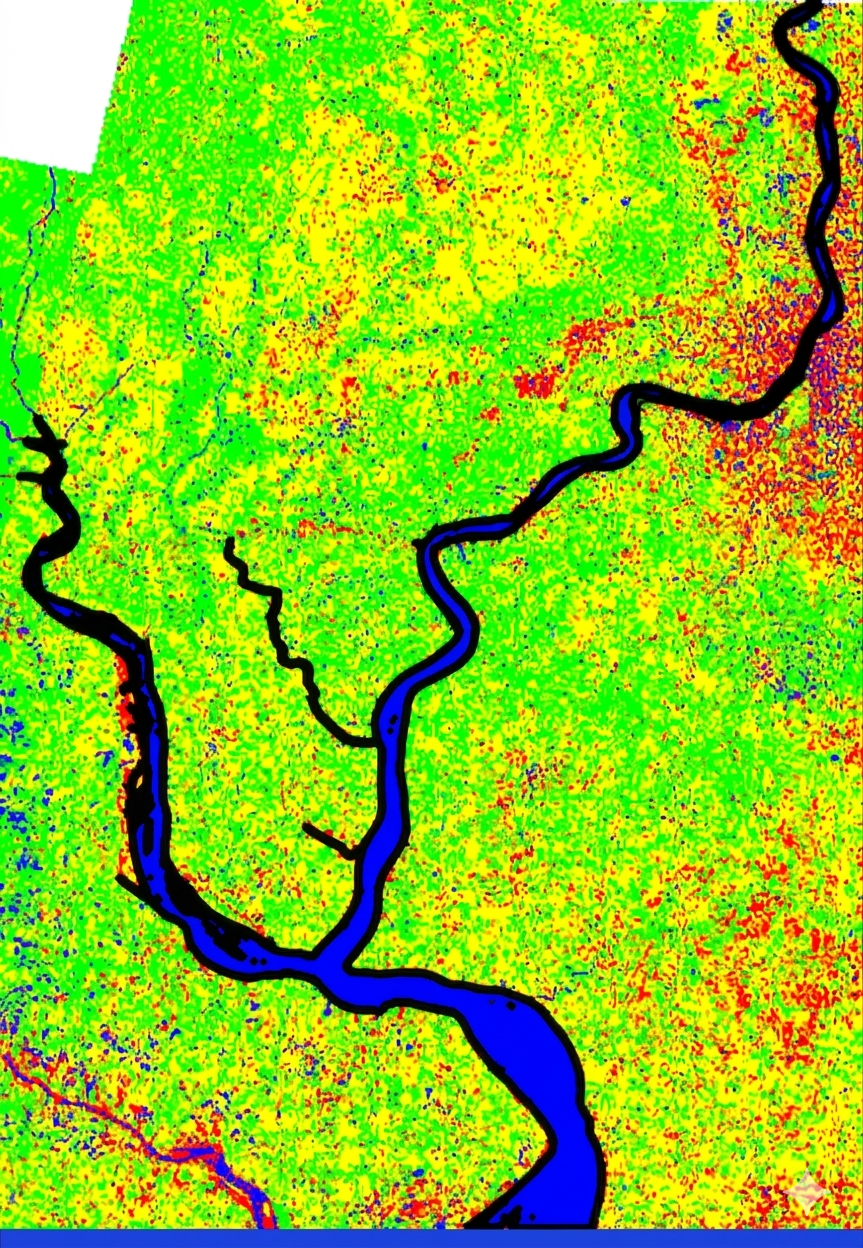
ML based Image classification
Using ML algorithms to perform image classifications.
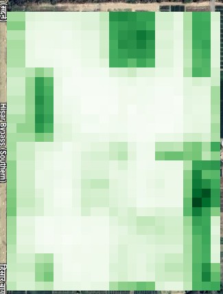
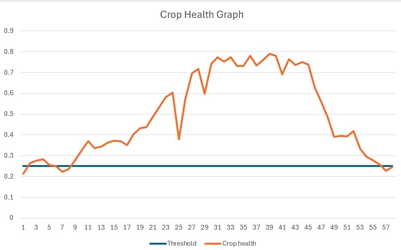
Agriculture monitoring
Performing timeseries analysis to view and monitor crop health using spatial data.
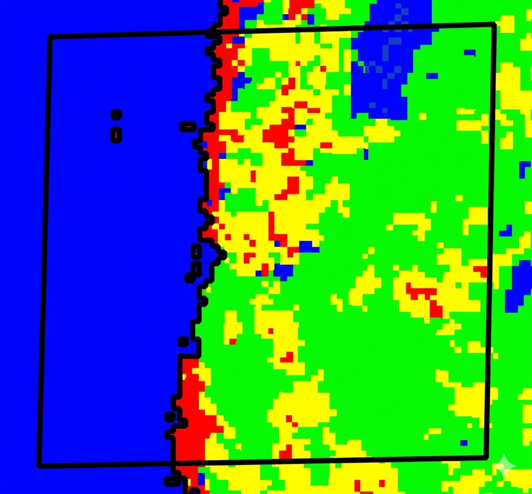
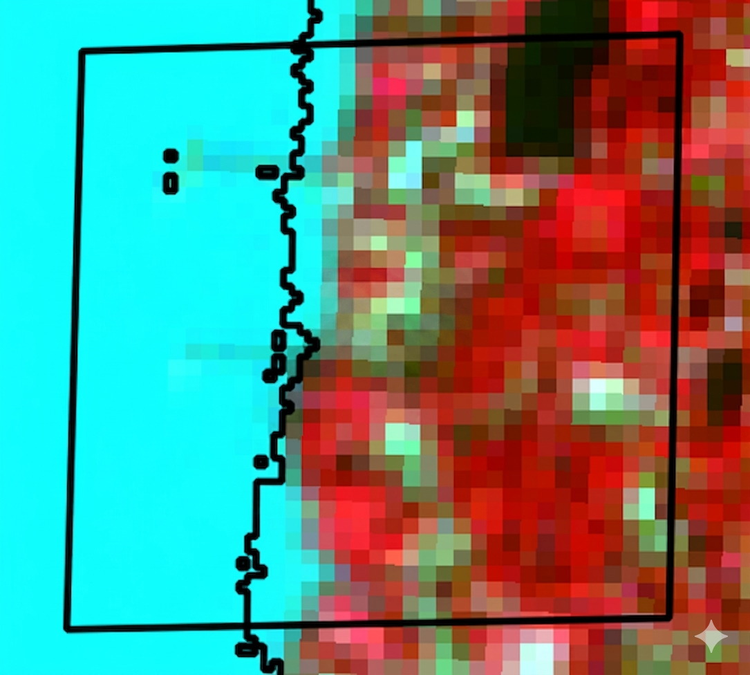
Timeseries analysis for environmental change detection
Identification and assessment of river bank shifts using satellite imagery and machine learning algorithms. This analysis helps detect bank-line movement, erosion, deposition and temporal changes in river morphology, supporting riverfront planning, infrastructure protection, dredging studies and risk-assessment requirements.
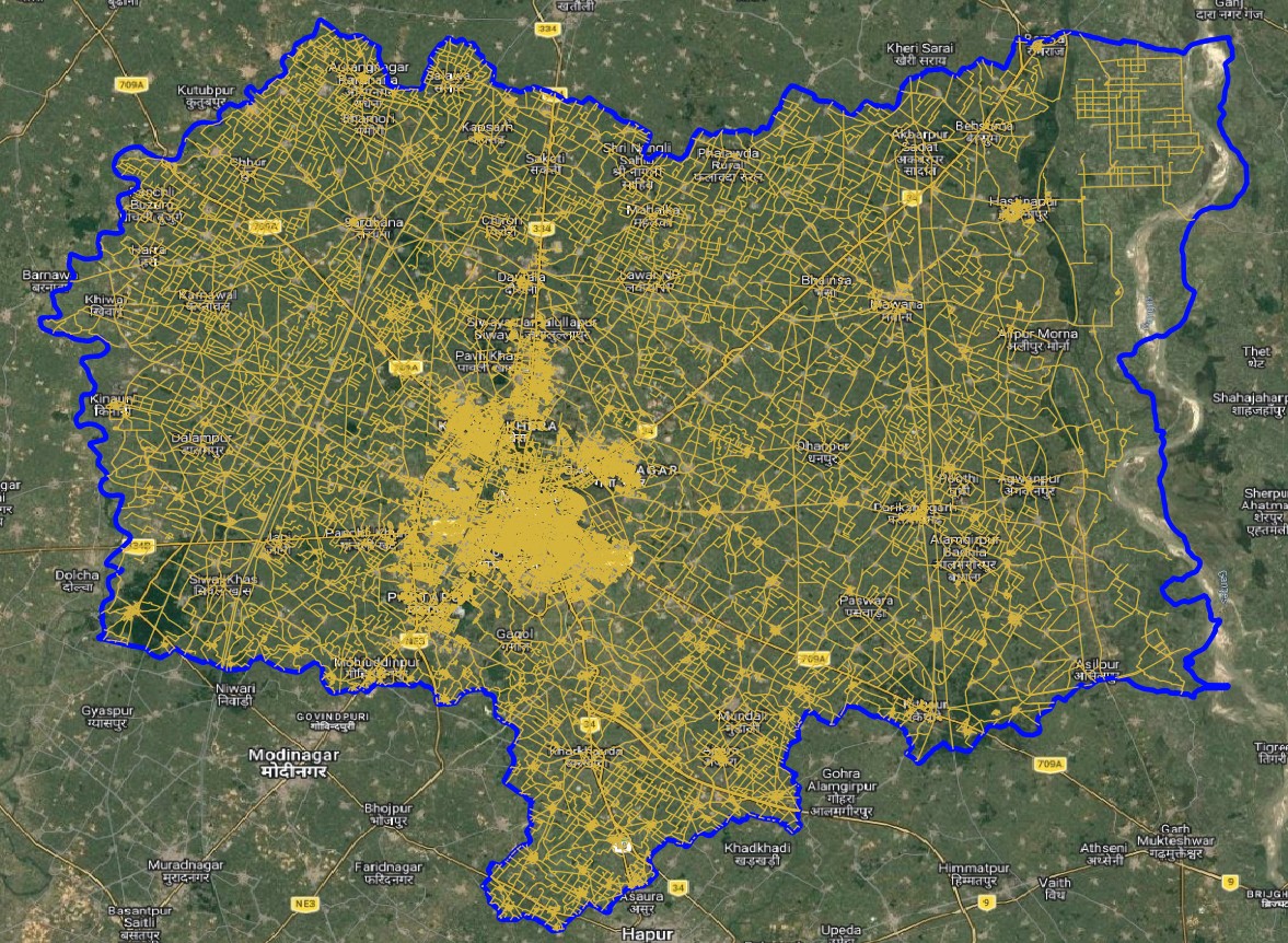
Remote sensing based data creation
Creating digitized layers for different spatial elements as per project requirements.
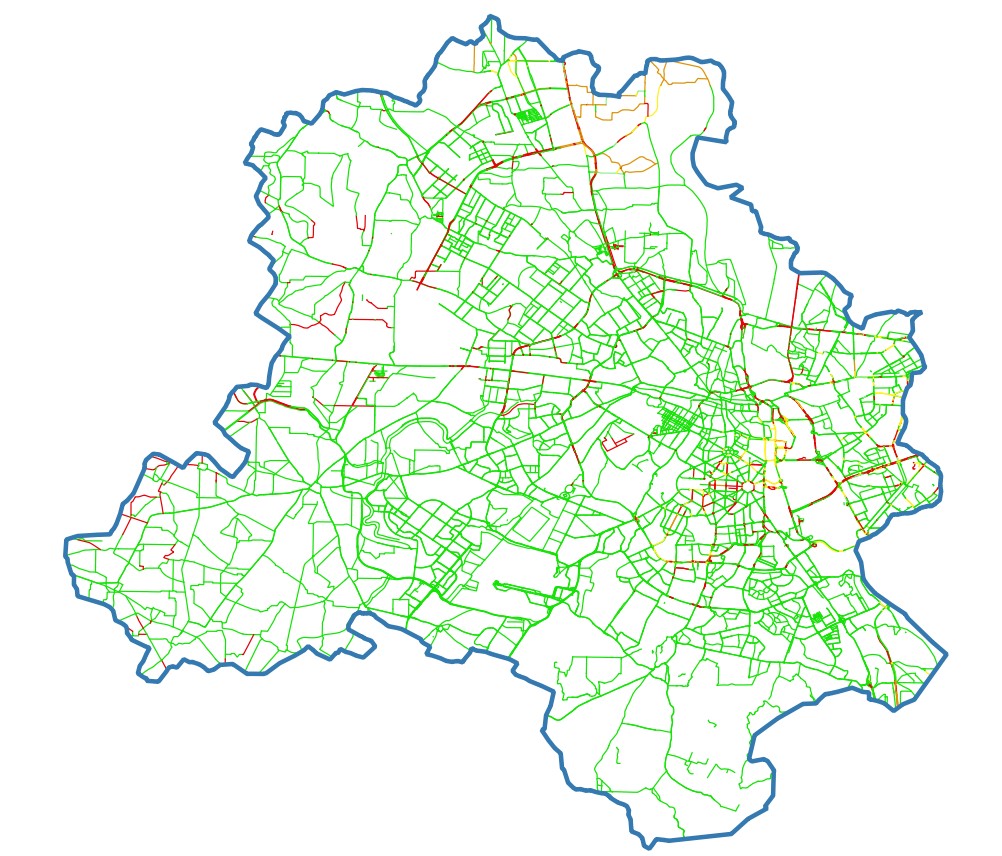
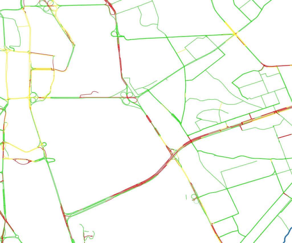
Infrastructure planning
Using spatial data and ML algorithms to predict waterlogging probablity for road networks.